Memory Lane: Tracing The Origins And History Of 7 CoWork@Gov Street Addresses

Ever looked at an address and wondered how a certain street in Singapore got its name? Challenge takes you down memory lane to explore the origins of 7 street names that house CoWork@Gov locations.

High Street (The Treasury)
Did you know that High Street is one of the oldest in Singapore? It was, along with Hill Street and North Bridge Road, laid shortly after Raffles arrived in 1819.
Before the development of the Orchard Road shopping belt in the 1970s, High Street was the go-to place for department stores or textile shops. High Street also owes its name to the terrain — the street’s higher topographical location makes it less prone to flooding.

Ghim Moh Road, Ulu Pandan Community Building (National Council of Social Service)
Situated within Buona Vista lies Ghim Moh estate. While the exact origins of “Ghim Moh'' are not clear, there are a few theories about how it got its name.
One theory suggests that “Ghim Moh” loosely translates to “golden hair” in Hokkien, referring to the British soldiers who resided in the nearby Holland Village during the colonial era. Another suggests that the street name means “luxuriant brocade”, as there used to be many jewellery shops and goldsmiths in the area.

Hampshire Road (Land Transport Authority)
Beyond Novena lies the Cambridge Estate, where each street is named after a county, city or town in England (such as Durham, Oxford, Hampshire, and others).
In its early days, the estate was known for its poor lighting, which provided cover for illegal activities. In the 1960s, secret societies were common in the estate, which took advantage of the darkness to carry out their operations. However, by the 1970s, there was a decrease in such activities due to police crackdowns.
Woodlands Avenue 8 (HDB Centre of Building Research)
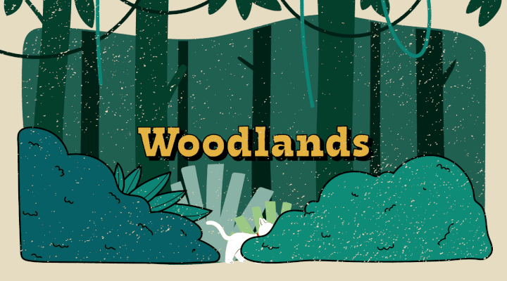
The name “Woodlands” has rather straightforward origins.
In the early 20th century, the northern part of Singapore appeared heavily forested when viewed from the straits of Johor. Before the area was developed for public housing and industrial operations, Woodlands was home to numerous plantation estates, where crops like pineapple, rubber and gambier were cultivated.

Ubi Avenue 4 (SCDF Innovation & Technology Lab)
During the Japanese Occupation, tapioca replaced rice as an important staple since it was easy to cultivate and more readily available.
To meet this demand, a kampung in Geylang Serai began to cultivate more tapioca, and the tapioca plantations in the area gradually replaced the previous coconut and rubber plantations. The kampung was eventually named after this essential crop – “ubi”, which is Malay for tapioca.
Yuan Ching Road (Jurong Lake Gardens)
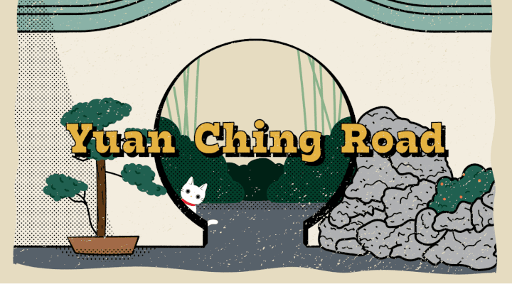
Before the 1970s, the streets at Taman Jurong were simply numbered: Taman Jurong 2, 4, 6, etc. However, in 1970, a decision was made to rename the even-numbered streets to end with “ching” (景), which means “scenery” in Chinese.
Although the reason behind the renaming is not precisely known, it puts the focus on the natural landscape. For instance, “Yuan Ching” in Yuan Ching Road means “garden scenery”, while “Ho Ching” in Ho Ching Road refers not to the Singapore Prime Minister’s wife, but to “lake scenery”.
Pasir Panjang Road (Mapletree Business City)
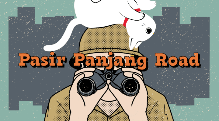
Long before “Pasir Panjang” became synonymous with its bustling port and container ships, the area was a long stretch of beach. This explains why it was named Pasir Panjang, which translates to “long sand” in Malay.
In the 1920s, many wealthy Chinese built holiday bungalows along the coast, and that residential stretch of Pasir Panjang was dubbed “millionaire’s row”. Some of these charming bungalows still stand today – providing a glimpse into the area’s rich history.
Work flexibly and securely from CoWork@Gov spaces across Singapore. Choose from 15 locations (intranet only).
CoWork@Gov is a whole-of-government shared service that features exclusive co-working spaces for public officers. Bookings may be done via Workpal.
To learn more about the history of our street names, read Singapore street names: a study of toponymics by Victor R. Savage and Brenda S. A. Yeoh.
- POSTED ON
Jun 22, 2023
- TEXT BY
Erin Liam
- ILLUSTRATION BY
Ryan Ong


